Home
County Proposal
Our Projects
Lake Superior Farm Fresh Atlas
Property Maps
>
Drainage Map
Community Gardens
The Equestrian Cooperative
Hops Trials
Malting Barley Trials
Woody Biomass Trials
Permaculture Gardens
Field Trials
Farm Beginnings
Meeting Hall
Who We Are
Funding & Support
Get Involved
Events Calendar
AERC News
AERC Views
AERC in the Media
Community Forum
Contact AERC
Links We Like
Housing
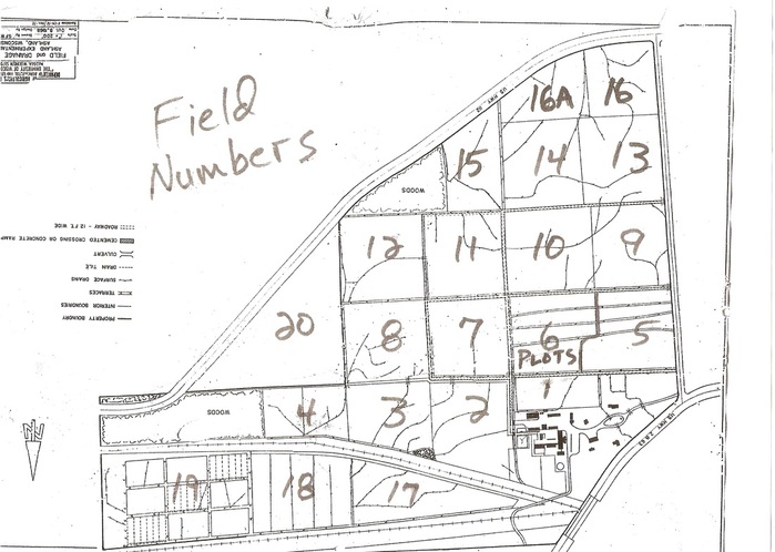
This 1968 map shows where the state dug ditches, culverts and drain tiles into the property. In the lower right of the map are the buildings and U.S. Hwy 2. Fields 9-12 form the height of land between the north and south branches of Fish Creek.